Nils Bauer · 31 October 2026
Tidal Sensor Networks Uncover Shifting Patterns Affecting Inlet Navigation
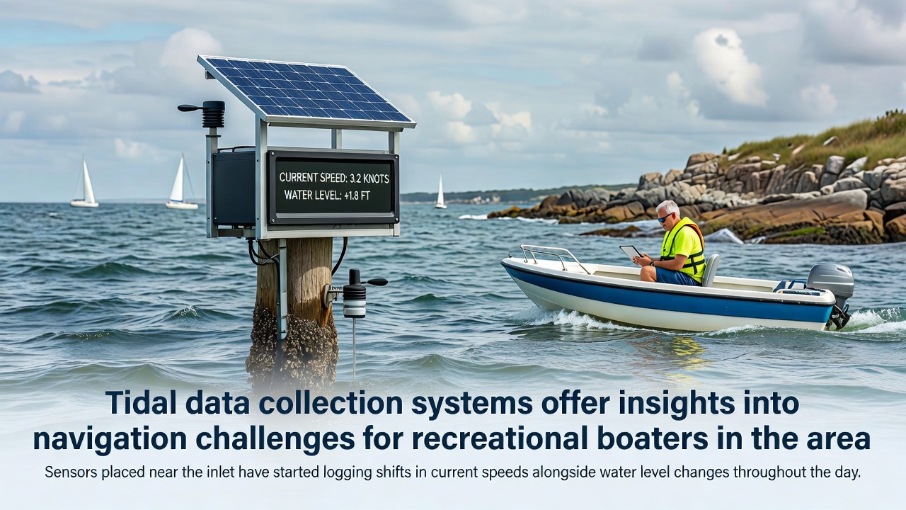
Coastal monitoring programs have expanded their reach in recent years through networks of sensors that capture detailed information on tidal movements, and these systems now provide recreational boaters with precise data on conditions near inlets where navigation demands careful attention to timing and route selection. Sensors placed near the inlet have started logging shifts in current speeds alongside water level changes throughout the day, creating continuous records that reveal daily cycles and longer-term variations driven by weather patterns and lunar phases.
How Data Collection Systems Operate
Modern tidal data collection relies on submerged instruments that measure water velocity at multiple depths while surface buoys track level fluctuations with high-frequency sampling intervals, and technicians retrieve these readings through satellite links or shore-based receivers that feed information into centralized databases. Government agencies coordinate these efforts across multiple sites, ensuring standardized calibration procedures that allow comparisons between different inlets and estuaries. Research indicates that such coordinated networks improve the accuracy of predictive models used for tide tables and current charts.
October 2026 brought notable recordings from several sensor arrays along the coast, where current speeds increased by measurable margins during afternoon ebb tides compared with earlier months, while water levels showed compressed ranges during neap periods. These observations align with broader datasets maintained by organizations like the National Oceanic and Atmospheric Administration, which compiles similar measurements from stations across U.S. waters. Boaters consulting updated forecasts can adjust departure times accordingly, reducing exposure to stronger flows that complicate passage through narrow channels.
Navigation Implications for Recreational Users
Recreational boaters often navigate inlets during daylight hours when visual cues supplement instrument readings, yet the logged data highlights periods when current reversals occur more rapidly than expected, creating windows of opportunity or risk depending on vessel size and engine power. Studies from marine research institutions show that vessels under 30 feet experience greater difficulty maintaining course when speeds exceed two knots against the intended direction, prompting many operators to reference real-time feeds before leaving harbor.
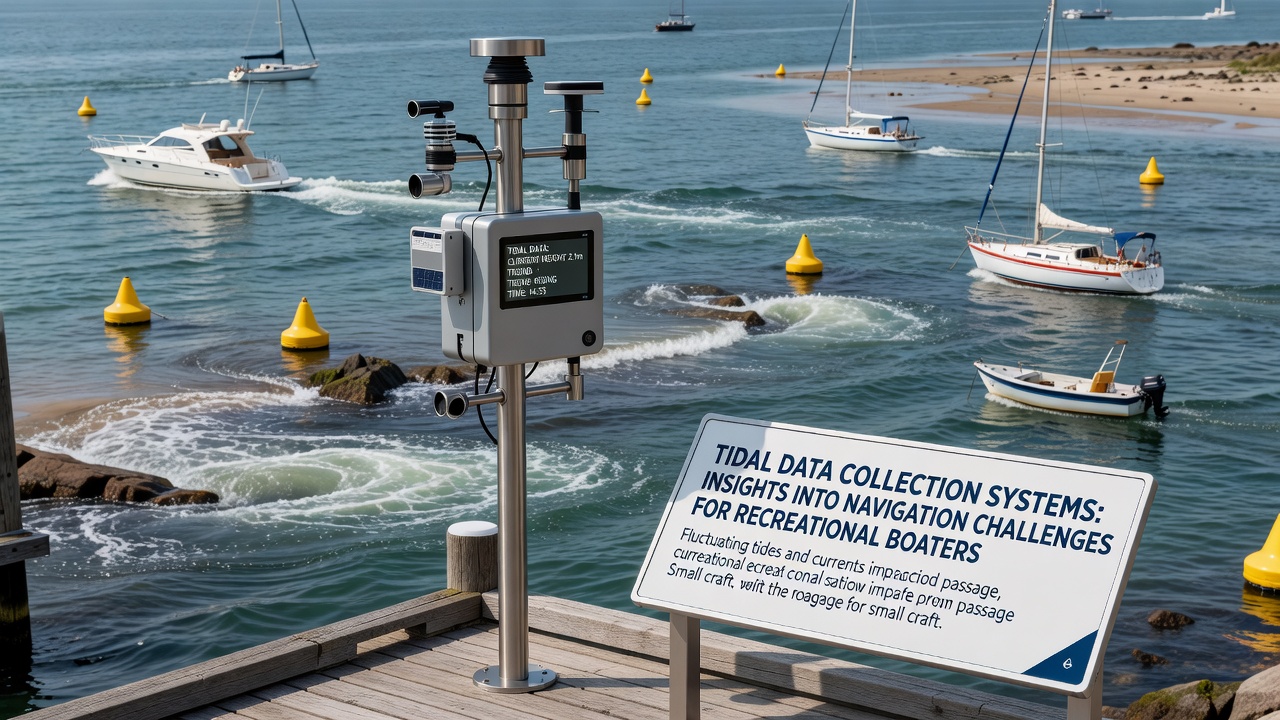
One monitoring project near a busy recreational inlet documented consistent afternoon accelerations in flow rates during October 2026, with peaks coinciding with outgoing tides amplified by offshore winds. These patterns, once tracked over successive days, allow route planners to identify safer transit windows that minimize fuel consumption and steering effort. Australian Bureau of Meteorology reports on similar coastal systems demonstrate how integrating local sensor outputs wth regional weather models enhances forecast reliability for small craft operators.
Integration with Broader Environmental Monitoring
Tidal data systems frequently operate alongside instruments that record temperature, salinity, and dissolved oxygen levels, generating multi-parameter datasets that support both navigation safety and ecological assessments. Canadian Hydrographic Service programs illustrate this approach by combining current measurements with bathymetric updates, producing layered charts that highlight areas where sediment movement alters channel depths over seasonal cycles. Observers note that recreational boaters benefit indirectly when these combined records inform dredging schedules and marker placements.
Shifts logged in recent months include subtle increases in peak current velocities during spring tides, accompanied by faster level changes at the inlet mouth. Such information reaches users through public portals and mobile applications that display graphs alongside tide predictions, helping individuals correlate personal experiences with quantitative trends. European Marine Observation and Data Network initiatives in the North Sea region provide comparable examples where sensor density has grown steadily, yielding insights applicable to other coastal zones worldwide.
Conclusion
Expanded sensor deployments continue to refine understanding of inlet dynamics, delivering actionable details that recreational boaters incorporate into trip planning. Records from October 2026 underscore the value of ongoing collection efforts, as daily variations in current and level become clearer through consistent measurement. These systems, supported by agencies across multiple countries, form the foundation for safer and more informed coastal navigation.