Nils Bauer · 19 September 2026
Students Take Charge of Inlet Health Tracking Through Direct Water Sampling Programs
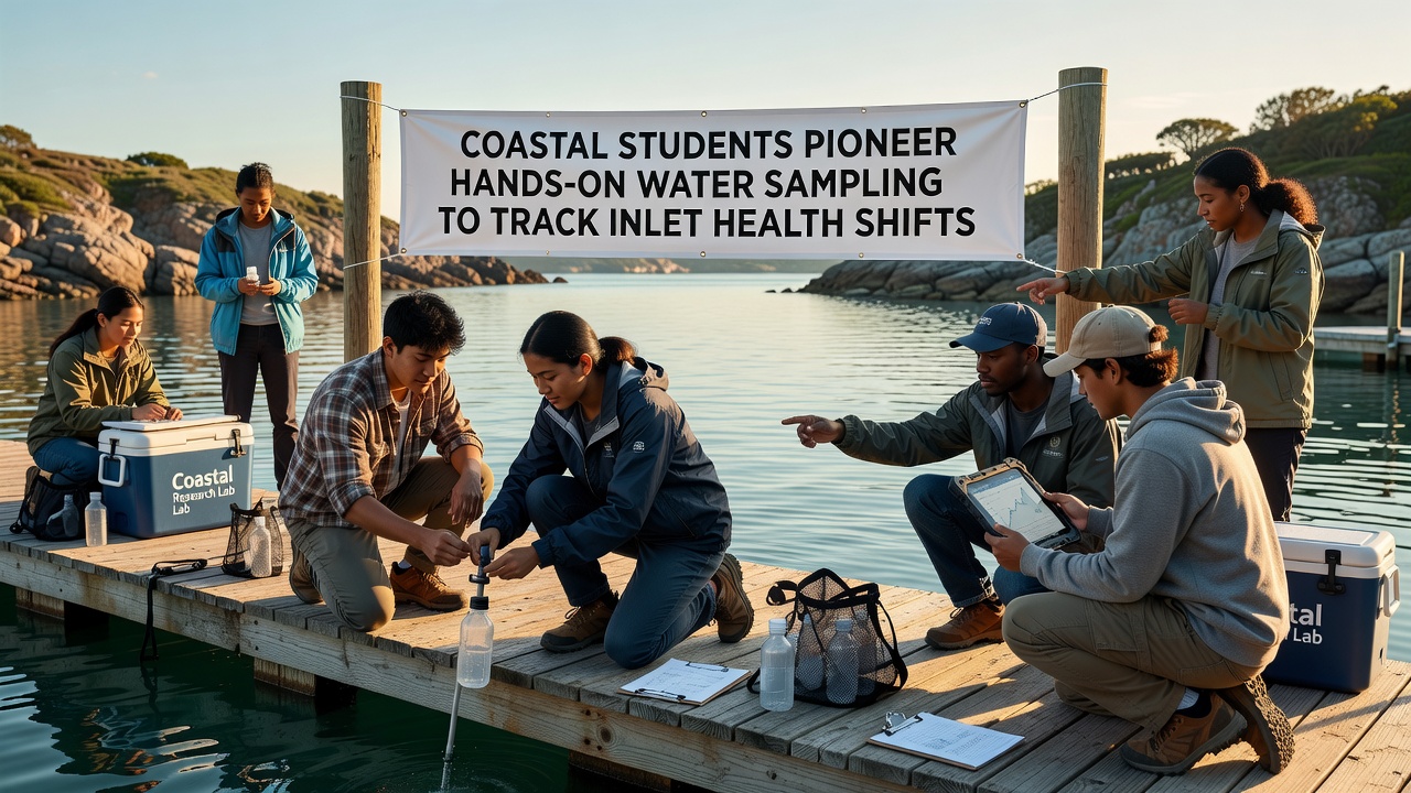
Coastal education initiatives have expanded in recent years as students participate in structured water sampling efforts designed to monitor changes in inlet conditions, with programs operating across multiple regions since the early 2020s and data collection accelerating through 2026. These activities involve direct measurement of parameters such as salinity levels, nutrient concentrations, temperature variations, and dissolved oxygen content, which researchers use to document shifts in ecosystem balance over time.
Schools located near estuaries and tidal inlets coordinate with local environmental agencies to train participants in standardized collection protocols, where teams gather samples at fixed intervals and record precise location data using GPS devices. In September 2026 several ongoing projects reported quarterly results showing seasonal fluctuations in pH readings and bacterial counts that align with broader patterns observed in previous years.
Program Structure and Data Collection Methods
Participants follow established procedures outlined by government and academic partners, beginning with site selection based on historical records and accessibility while avoiding areas with heavy recreational traffic that could skew readings. Each session includes multiple sampling points distributed along the inlet gradient, from upstream freshwater inflows to downstream marine interfaces, and students label containers with timestamps, weather conditions, and tide stages before transporting specimens to certified laboratories for analysis.
Training modules cover equipment calibration, contamination prevention, and chain-of-custody documentation, which ensures that resulting datasets meet quality standards required for integration into regional environmental databases. Universities contribute technical support through workshops that demonstrate how to interpret trends in turbidity and chlorophyll concentrations, indicators that often signal changes in water clarity and primary productivity.
Geographic Reach and Institutional Partnerships
Programs operate in areas ranging from the Pacific Northwest to the Gulf Coast and extend internationally through collaborations with institutions in Canada and Australia, where similar student-led monitoring has produced comparable datasets on inlet responses to precipitation events and upstream land use modifications. The National Oceanic and Atmospheric Administration supplies reference materials and hosts centralized repositories that aggregate findings from these efforts, allowing analysts to compare conditions across different inlet systems.
European Environment Agency guidelines inform cross-border data harmonization practices, which facilitate comparisons between North American and European coastal sites experiencing analogous pressures from nutrient loading and temperature increases. Observers note that these partnerships have increased the volume of publicly available records, with annual reports now incorporating student-collected measurements alongside professional surveys.
Observed Patterns and Analytical Applications
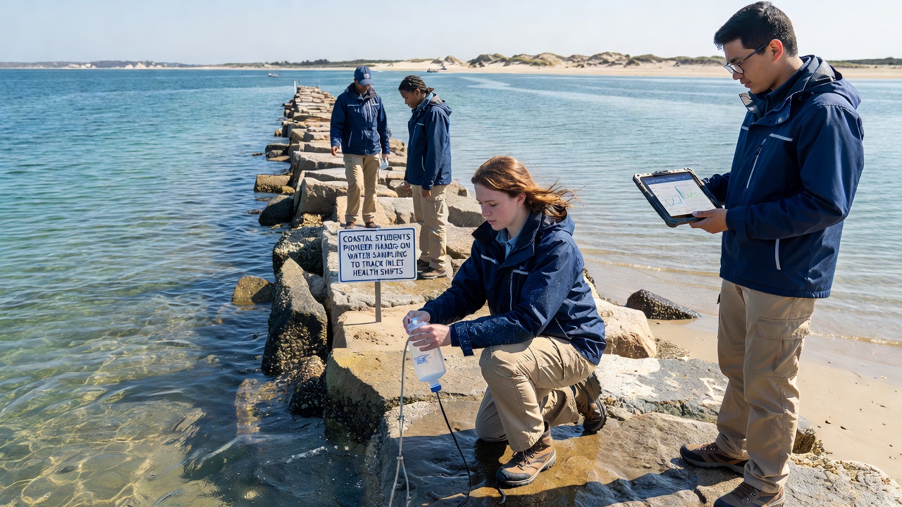
Longitudinal records compiled from student sampling reveal recurring cycles in dissolved oxygen that correspond with algal bloom periods and subsequent decay phases, while nutrient spikes often follow heavy rainfall that carries agricultural runoff into inlet waters. Analysts apply statistical models to these time series to isolate anthropogenic influences from natural variability, producing projections that inform management decisions regarding watershed protection zones.
Case examples include inlet systems where student measurements documented a measurable decline in average salinity during extended drought conditions, prompting adjustments in freshwater diversion schedules to maintain habitat suitability for resident species. Researchers cross-reference these observations with satellite imagery and automated sensor arrays to validate trends and identify anomalies that warrant further investigation.
Future Directions in Student Monitoring Initiatives
Expansion plans call for integration of portable sensor technology that transmits real-time readings directly to cloud platforms, reducing delays between collection and analysis while increasing spatial coverage within individual inlets. Curriculum developers continue to refine field exercises that connect sampling activities to broader concepts in marine chemistry and hydrology, preparing participants for careers in environmental science and resource management.
Data repositories maintained by participating institutions now include contributions spanning multiple academic years, which enables detection of multi-year shifts that single-season studies might overlook. Continued coordination among schools, agencies, and universities supports the accumulation of standardized records that contribute to regional assessments of inlet condition and resilience.
Conclusion
Student involvement in hands-on water sampling has generated substantial datasets that supplement professional monitoring networks and support evidence-based approaches to inlet management. These programs continue to evolve through technological upgrades and expanded partnerships, maintaining a focus on consistent methodology and verifiable results that advance understanding of coastal ecosystem dynamics.